mapsnap
See what almost any city or town in the United States looked like 100 years ago, building by building. mapsnap places the Library of Congress's Sanborn fire insurance maps on today's map automatically: it reads the street names printed on each sheet and matches them to OpenStreetMap. The results cover tens of thousands of volumes, and are free to explore, download and reuse.
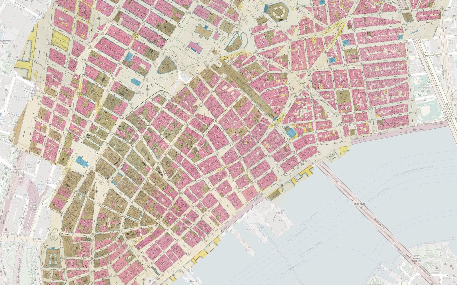
- See an example: New York, 192336 sheets of lower Manhattan over today's map, in the Allmaps viewer. Not loading on your phone? Try the loc.gov version.
- View the maps and download the data7,755 cities and towns: 29,817 volumes, with 339,124 sheets placed.
- Read how it worksIntroducing mapsnap: Automated Georeferencing for Historic Sanborn Insurance Maps
- Read the FAQCommon questions about mapsnap and its maps.
- Get the codemapsnap on GitHub.
Report issues on GitHub. See the FAQ. For other questions, contact Dan or join the #mapsnap channel on OSMUS Slack.